All Work
An open-source library of urban planning strategies, interactive spatial visualizations, and municipal data tools.
Explore the index below to see how architectural code, python workflows, and local zoning policies intersect to optimize real-world community development.
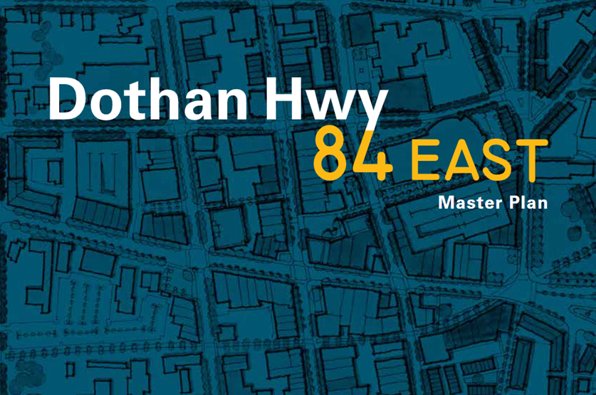
My approach to policy bridges the gap between text-heavy municipal mandates and practical implementation.
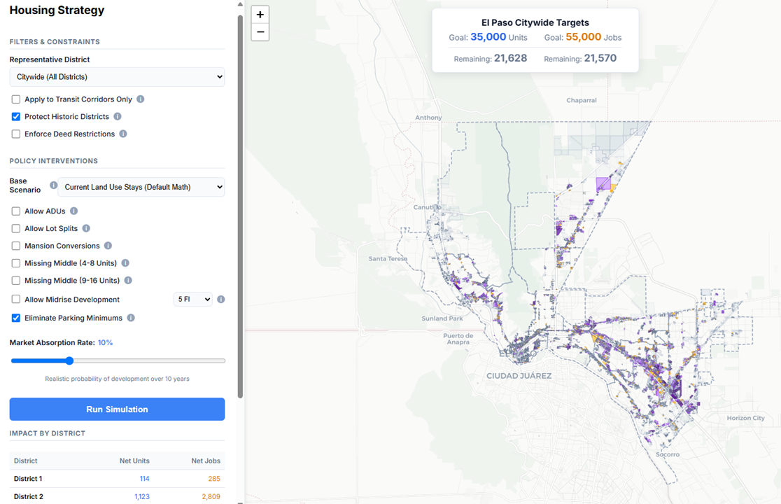
I translate complex local development codes, land-use frameworks, and housing strategies into structured analytical models. By evaluating regulatory boundaries through data science, I help firms, public entities, and developers navigate statutory thresholds, track affordability milestones, and unlock capacity without cutting corners.
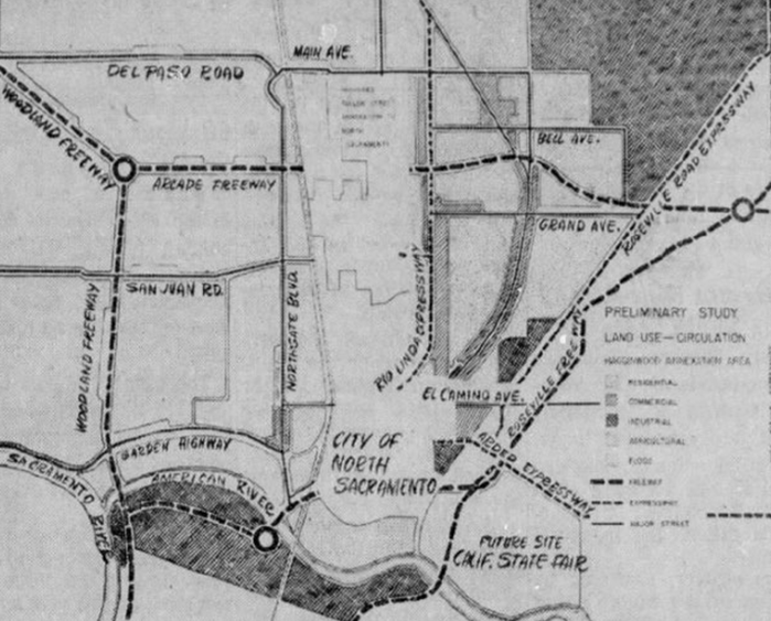
My approach to design focuses on making abstract geographic constraints instantly visible and intuitive.
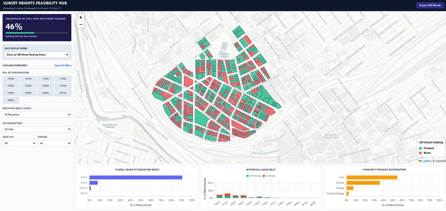
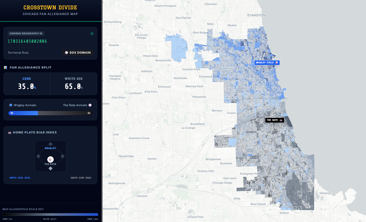
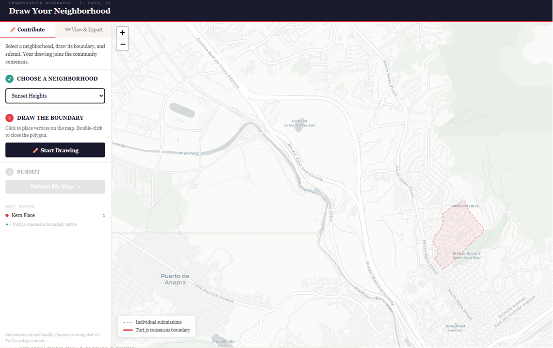
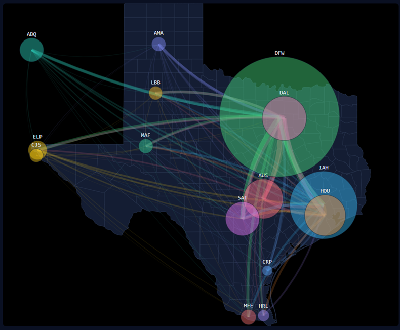
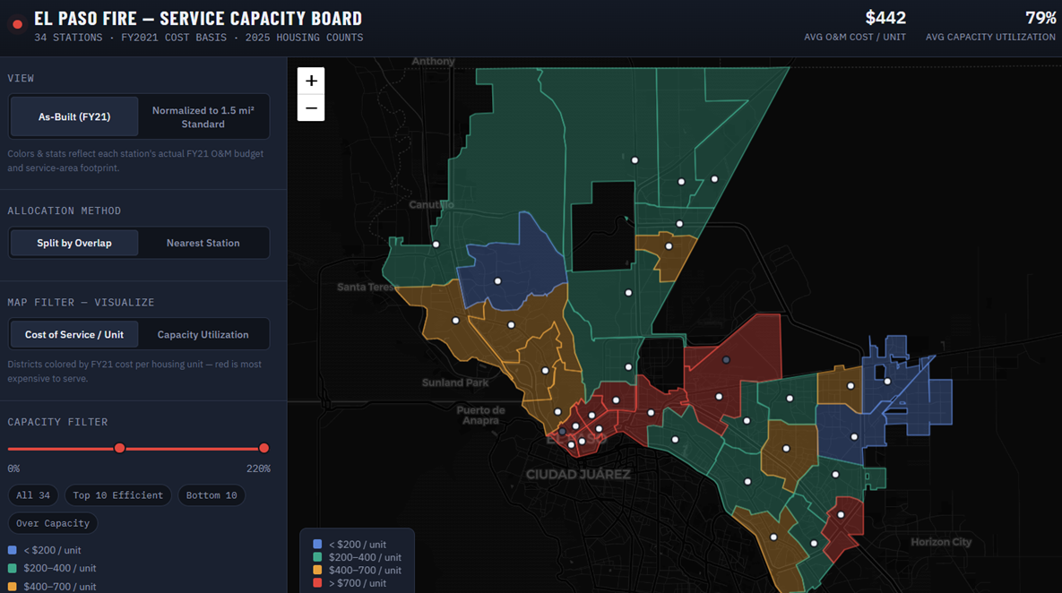
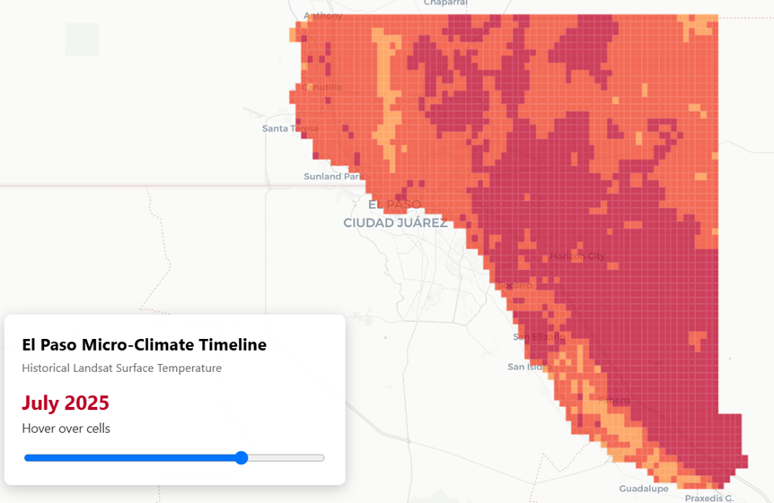
Urban planning is inherently spatial, but raw municipal data can be incredibly opaque. I utilize Geographic Information Systems (GIS), clean UI frameworks, and custom mapping modules to convert dense tabular datasets into arresting visual narratives. This ensures non-technical stakeholders can easily interact with, interpret, and act on local market metrics.
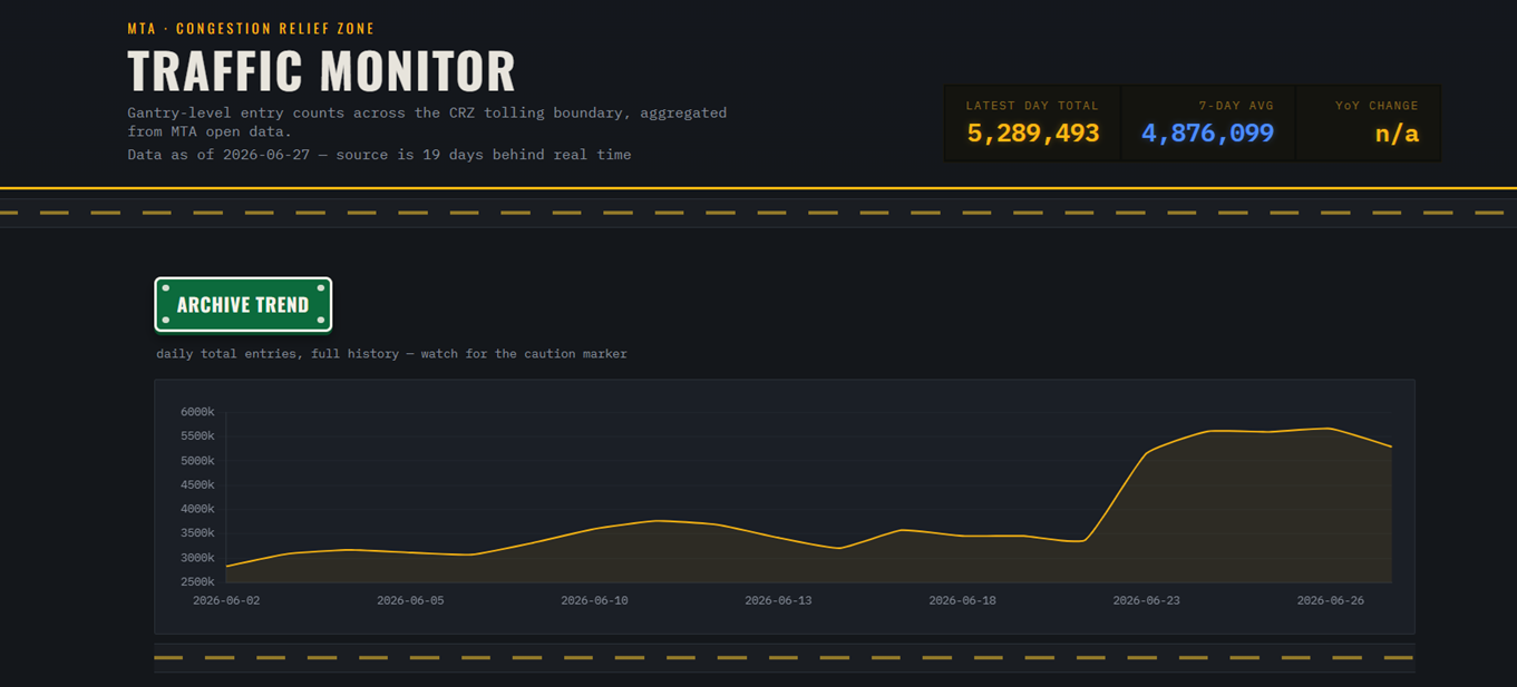
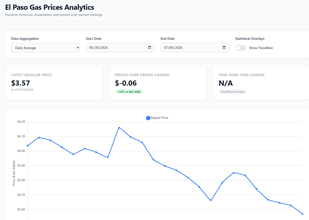
My approach to data centers on building automated computation pipelines to track real-time urban metrics.
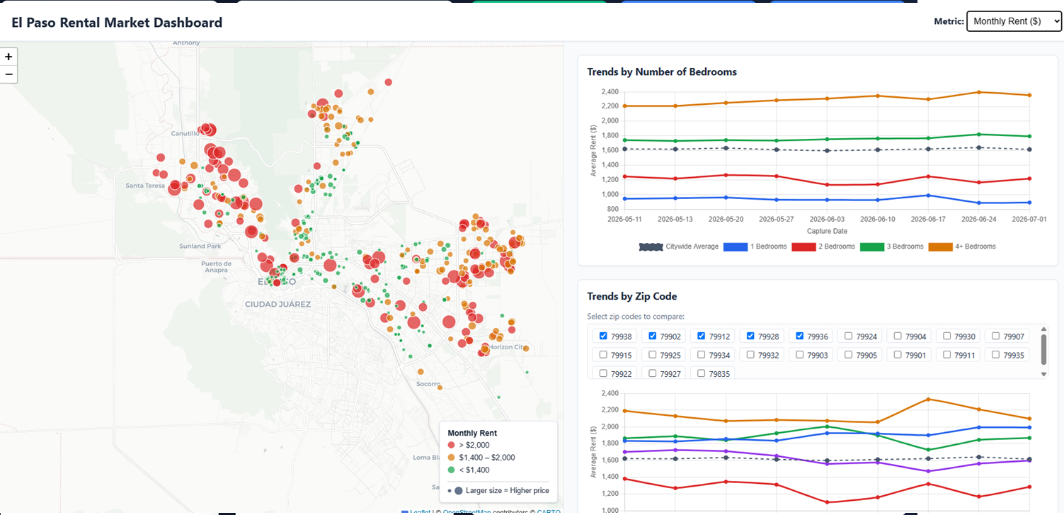
Instead of relying on static, outdated spreadsheets, I engineer robust Python web scrapers, interface directly with real estate APIs, and deploy active data science models. This computational stack powers live dashboards and automated trackers that monitor localized market indicators and policy shifts as they happen.